|
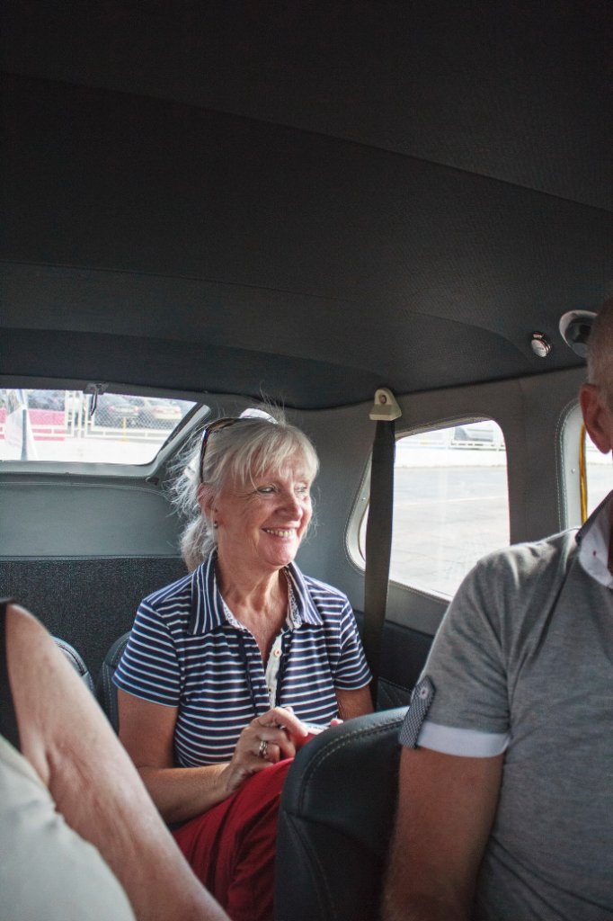 |
| In the Cessna | |
| Latitude: N 8°7'33,99" | Longitude: W 63°32'14,55" | Altitude: 51 metres | Location: Ciudad Bolívar | City: Ciudad Bolívar | State/Province: Estado Bolívar | Country: Venezuela | Copyright: Ron Harkink | See map | |
| Total images: 70 | Help | |
|
|
|
| In the Cessna | |
| Latitude: N 8°7'33,99" | Longitude: W 63°32'14,55" | Altitude: 51 metres | Location: Ciudad Bolívar | City: Ciudad Bolívar | State/Province: Estado Bolívar | Country: Venezuela | Copyright: Ron Harkink | See map | |
| Total images: 70 | Help | |